
Meander Map
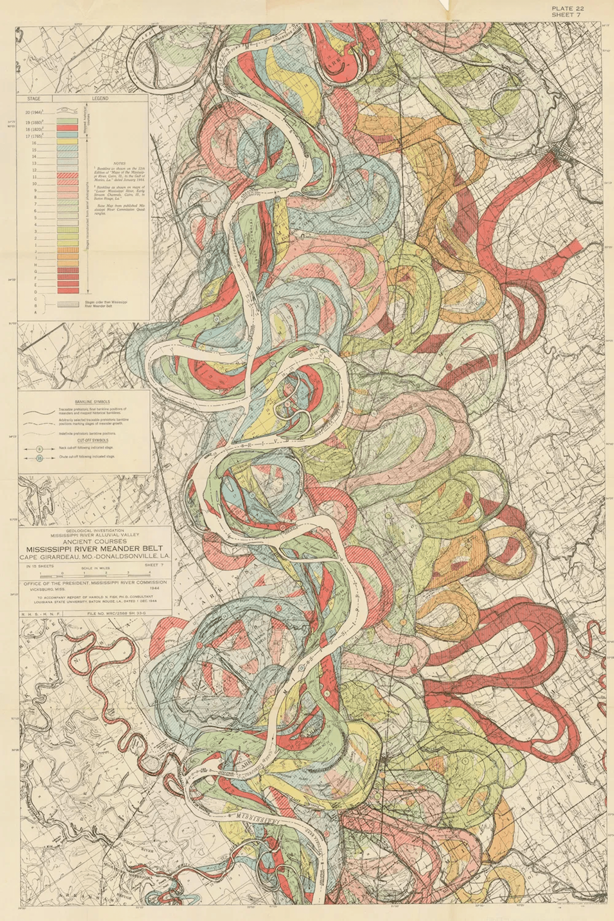
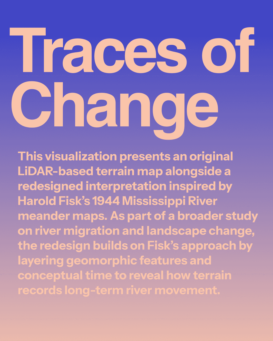
A LiDAR terrain map redrawn in the language of Harold Fisk's 1944 Mississippi meander plates - geomorphic features and conceptual time layered to show how terrain records a river's long migration.
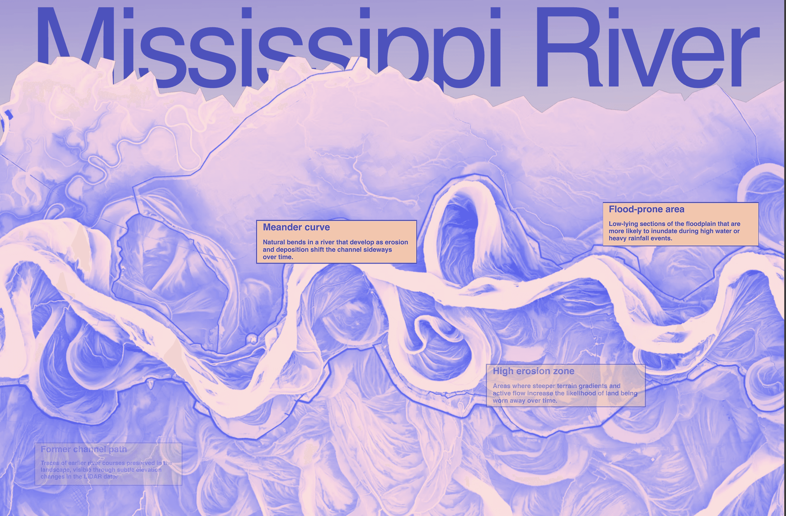
Year
2026
Scope
- Data Visualization
- Cartography
- Editorial Design
Categories
Data Visualization · Editorial
Selected pages
LiDAR terrain and the redesigned meander map, shown side by side
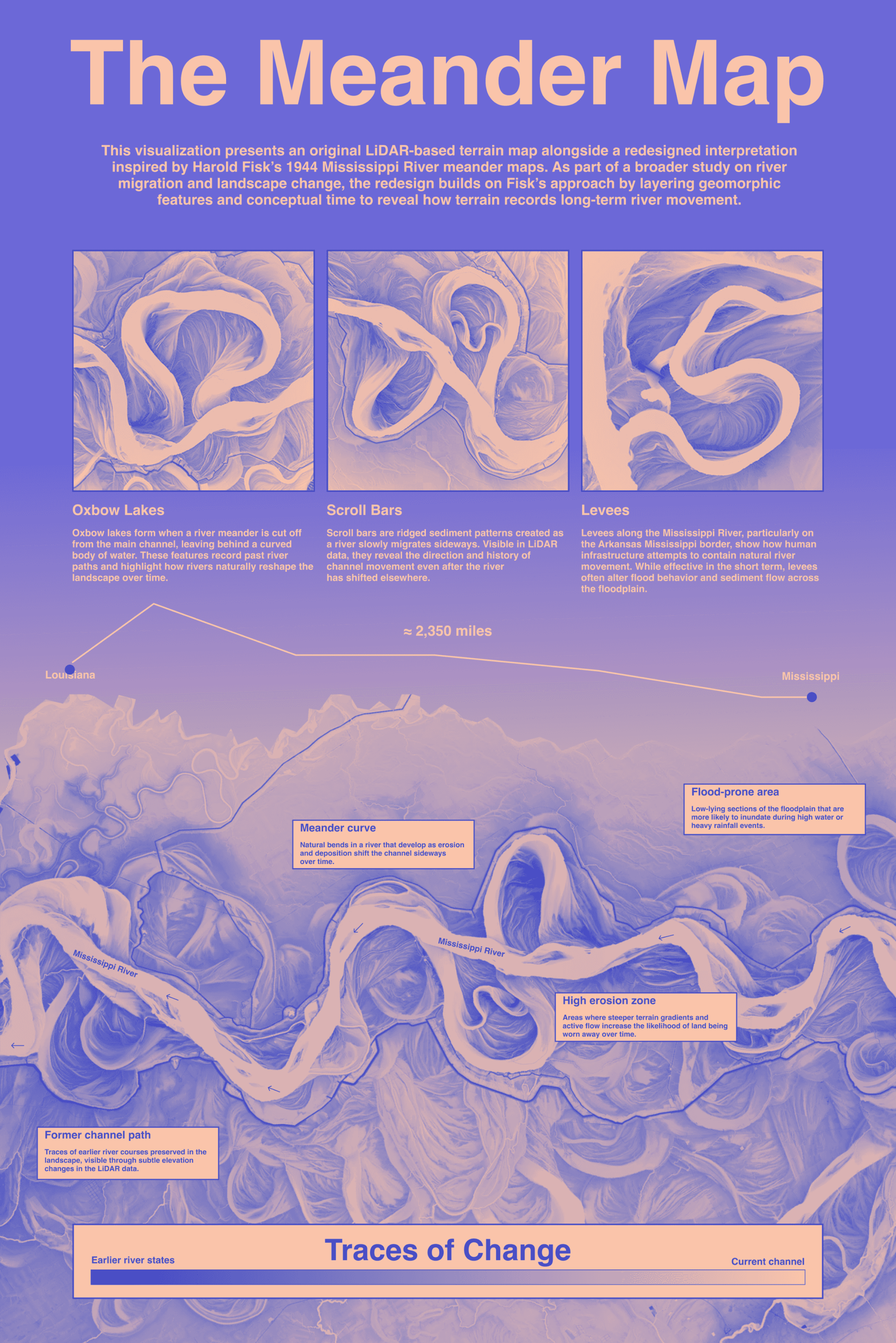
The original LiDAR-based terrain map
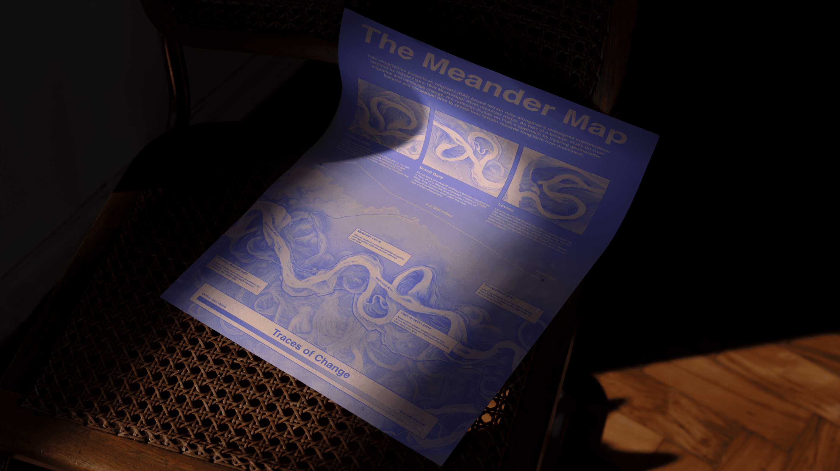
The redesign - geomorphic features layered with conceptual time
Comparison study - Fisk's 1944 plates against the new interpretation

Layer study - channel belts
Layer study - abandoned meander scars
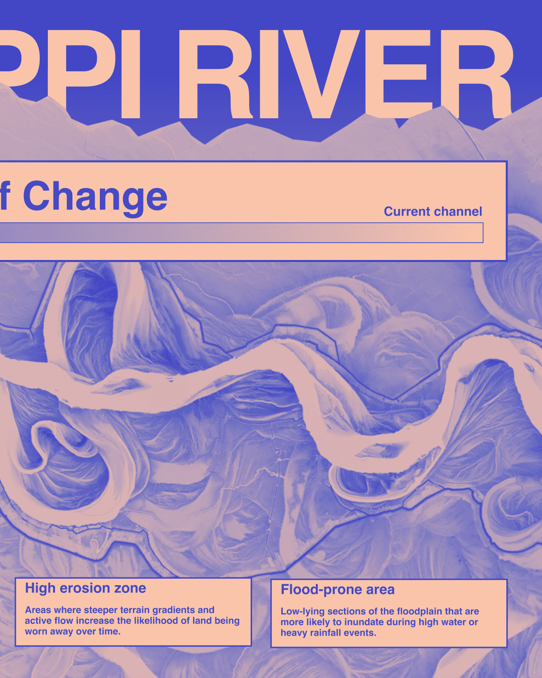
Layer study - floodplain deposition

Layer study - time-coded river migration

Full plate - the river read end to end

Detail - colour keying across overlapping channels

Detail - legend and geomorphic notation